
Precision. Accuracy. Confidence.
At AiraZone Global Ltd, we provide professional land surveying and mapping services that support development, planning, construction, and land acquisition. Whether you're building, buying, mining, or investing — accurate land data is critical, and that's what we deliver.
Our Services Include:
- Cadastral & Property Surveys: - Boundary & Title Surveys - Land Registration Support - Subdivision & Layout Plans - Lease & Site Plans
- Engineering Surveys: - Topographic Surveys - As-Built Surveys - Construction Setting-Out - Road, Bridge & Drainage Surveys
- Geodetic & Control Surveys: - Establishment of Survey Control Points - GNSS/GPS Surveys - Coordinate Systems & Mapping Accuracy
- Mining & Environmental Surveys: - Pit & Dump Surveys - Mine Lease Boundary Mapping - Tailings Dam & Water Flow Monitoring - Land Use & Environmental Impact Mapping
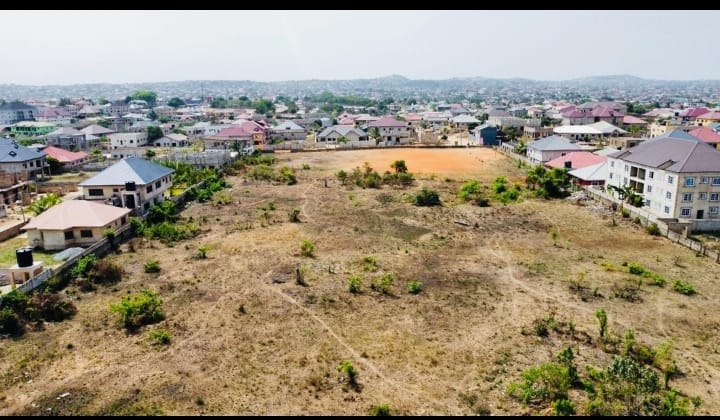
- GIS & Mapping Services: - Digital Mapping & Data Visualization - Land Use Analysis - Custom Mapping for Urban Planning - Aerial Drone Surveys (UAV)
Trust Us for Accuracy
Our certified surveyors and mapping technicians ensure every project is executed with precision, regulatory compliance, and speed. Contact us today for your land surveying and mapping needs.